
Archaeological and Heritage Assessment
Archaeological and heritage assessments support the planning process by identifying heritage assets, assessing their significance and considering potential development impact. APAC Ltd provides assessment work across England and Wales from early feasibility through to planning submission and condition discharge.
Purpose of Assessment
Assessment provides the evidence base used by planning authorities to understand archaeological and heritage implications of development proposals. This typically includes identification of heritage assets, assessment of significance, consideration of development impact and advice on mitigation or further investigation. Assessment scope is tailored to planning and heritage requirements for each project.
Desk-Based Assessment
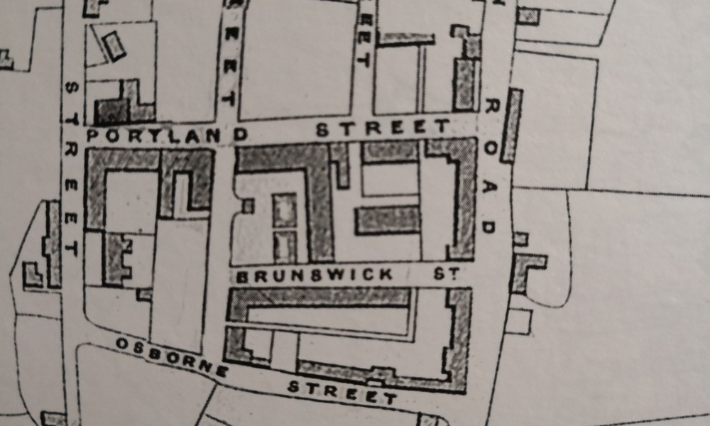
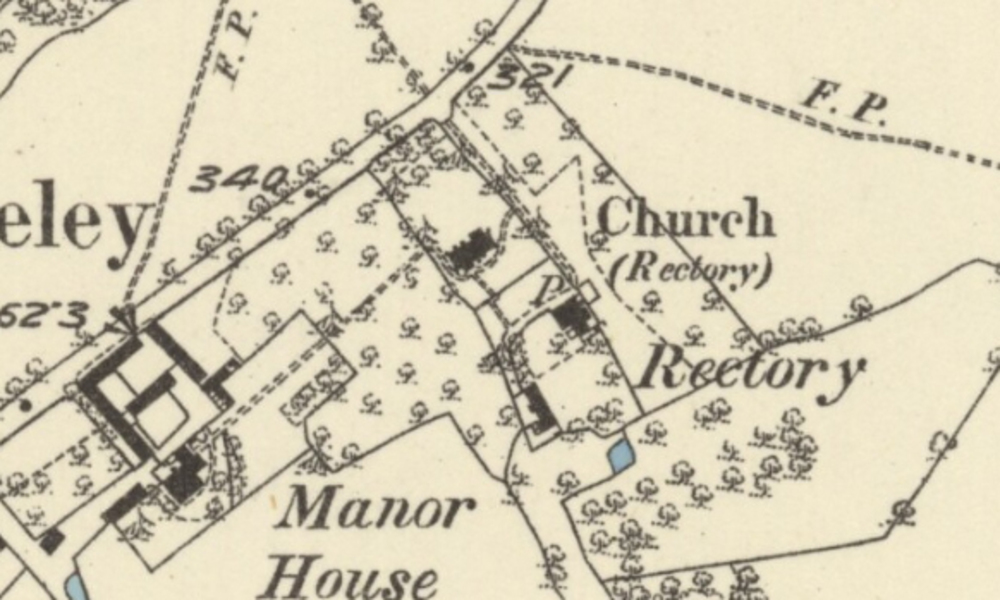
Desk-based assessment is a structured review of archaeological and historical information, including historic mapping, aerial photography, LiDAR data, published sources, archive material and Historic Environment Record data. It is commonly used to support planning applications, land purchase decisions and early feasibility studies. Early assessment and survey work can significantly reduce project risk and cost by identifying constraints early and supporting proportionate development design.
Assessment Focus and Impact Consideration
Assessment work may include DBA, Archaeological Impact Assessment (AIA) and Heritage Impact Assessment (HIA), either as separate or combined documents, depending on project requirements. Assessment scope is normally agreed through consultation and is designed to meet planning policy and heritage guidance current at submission.
Archaeological survey
Archaeological survey provides a non-intrusive assessment of archaeological potential and identification of buried remains prior to ground disturbance. Survey supports planning applications, informs evaluation strategy and refines understanding of archaeological risk at early project stages. APAC Ltd undertakes survey methods selected according to site conditions, geology and project requirements.
Geophysical Survey
Geophysical survey identifies sub-surface anomalies without ground disturbance using specialist equipment. APAC Ltd undertakes electrical resistivity surveys in-house and coordinates other specialist geophysical techniques through trusted partners, integrating results into archaeological interpretation and reporting.
Metal Detector Survey
Systematic archaeological metal detector survey identifies and records artefacts within ploughsoil and near-surface deposits. When undertaken using controlled methodology and spatial recording, detector survey produces detailed archaeological datasets supporting the interpretation of past activity and land use.
Walkover Survey
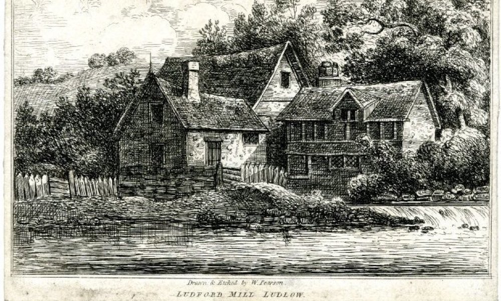
Walkover survey involves a systematic inspection to identify visible archaeological features, earthworks and historic landscape features. Walkover survey is typically supported by photography, aerial imagery, LiDAR and historic mapping and may be supplemented by topographic survey and terrain modelling.
Laser Scanning and 3D Recording
APAC Ltd uses a range of measurement and recording techniques, including traditional measured survey, GNSS, total station survey and high-resolution 3D laser scanning. Recording methods are selected to provide the most appropriate and proportionate record for each project.
Laser scanning is particularly effective for recording complex structures, irregular surfaces and deformation. Laser scanning creates high-density point cloud data used for analysis, survey drawing production and digital modelling. Applications include building recording, excavation recording, industrial heritage recording and complex structural documentation.
Outputs may include measured drawings, orthographic imagery, point cloud datasets, digital models and interactive visualisation outputs. Digital recording can reduce site recording time while maintaining high accuracy and minimising disruption to construction programmes.